Overview
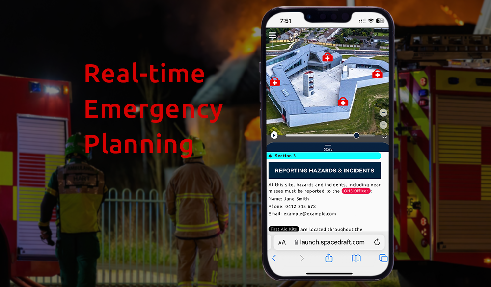
Having a clear plan for emergencies ahead of time can help keep you safe – whether it is a workplace site induction or preparing to protect yourself and those near you in the event of a threat or natural disaster such as a fire, cyclone, storm, flood, tsunami or earthquake.
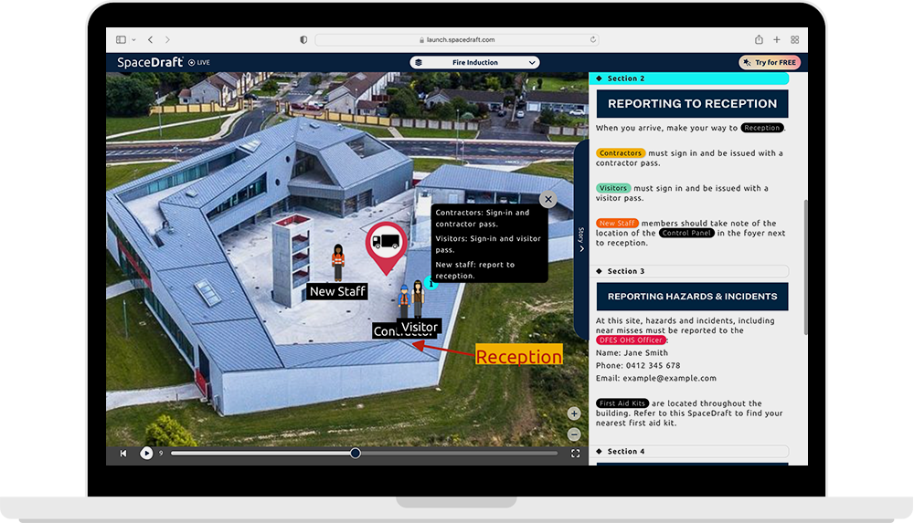
SpaceDraft allows you to clearly visualise your emergency plans by showing the movement of people and objects in any space, over any measure of time.
Challenges
In Australia, local governments are responsible for local emergency management plans, including emergency evacuation plans. Aspects of these plans, such as emergency evacuation routes and evacuation centres, tie into the plans that civilians may also need to make to plan for floods, fires, or other natural disasters or threats.
Paper maps and plans for emergency procedures can be both disengaging and hard to decipher.
- Paper documents and maps are static, so do not show the movement of people over time.
- Safety procedures can be generalised, rather than being tailored to specific locations.
- Adaptive plans are needed for a variety of circumstances, such as bushfire, flood, or storms.
Not only do emergency procedures and plans need to be clear, they also need to be engaging, adaptive, and allow for time-based representations of movement within a space. This feature set is a lot to ask of a simple paper document.
SpaceDraft offers an innovative way to visualise and share your emergency plans, combatting many of the deficiencies seen in traditional paper plans. This presents opportunities for local governments and civilians to clearly share evacuation plans with the people that need them.
Solutions
The key difference between paper plans and SpaceDraft, is that SpaceDraft is specifically designed to show the movement of people and objects in any space, over any time, whereas paper plans are, by their nature, static.
SpaceDraft also allows you to upload sound and voiceover recordings so you can narrate your plans to add another level of clarity.

Customise your plan for your space
The background in your SpaceDraft is the plane on top of which movement occurs. You can upload floor plans, images, or use a real-world location with the built-in data maps functionality.Establish a timeline
Add a custom time setting to your SpaceDraft, whether it is a 5-minute time limit in which people need to evacuate a building, or a procedure with 10 steps.Create movement using pins
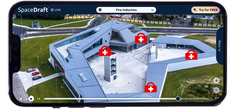
Add people and objects as pins then add paths to show movement, such as a person exiting from their nearest evacuation exit and walking to the assembly area.Voiceover and sound
Narrate your plans or add sound effects, such as a fire alarm warning alert, to add another level of clarity to your plans.Results
Being better prepared for the event of an emergency with a clear plan contributes to your own safety and the safety of others. SpaceDraft allows you to create visual and auditory plans set within a specific space and timeframe.

Future plan
Once you make an emergency plan on SpaceDraft, you can share it with others via link, email, QR code, or even embed it on a website. Local governments can share their plans with civilians or across State Government departments, such as DFES and the Police Force; and civilians can share their own plans with family members and neighbours. Overall, SpaceDraft offers a streamlined communication process and creates a more engaging and efficient way to plan for emergencies.

